
You Can’t Inspect Every Site Yourself
You run a business that depends on location. Maybe you’re a property agent valuing a shoplot, a construction contractor planning a new bungalow site, or a solar installer trying to figure out which rooftops are actually worth visiting. Whenever you need to know what’s really on the ground, your choices are: drive there, stare at Google Maps, or pay someone to survey it. None of those scale when you’re trying to run a growing SME.
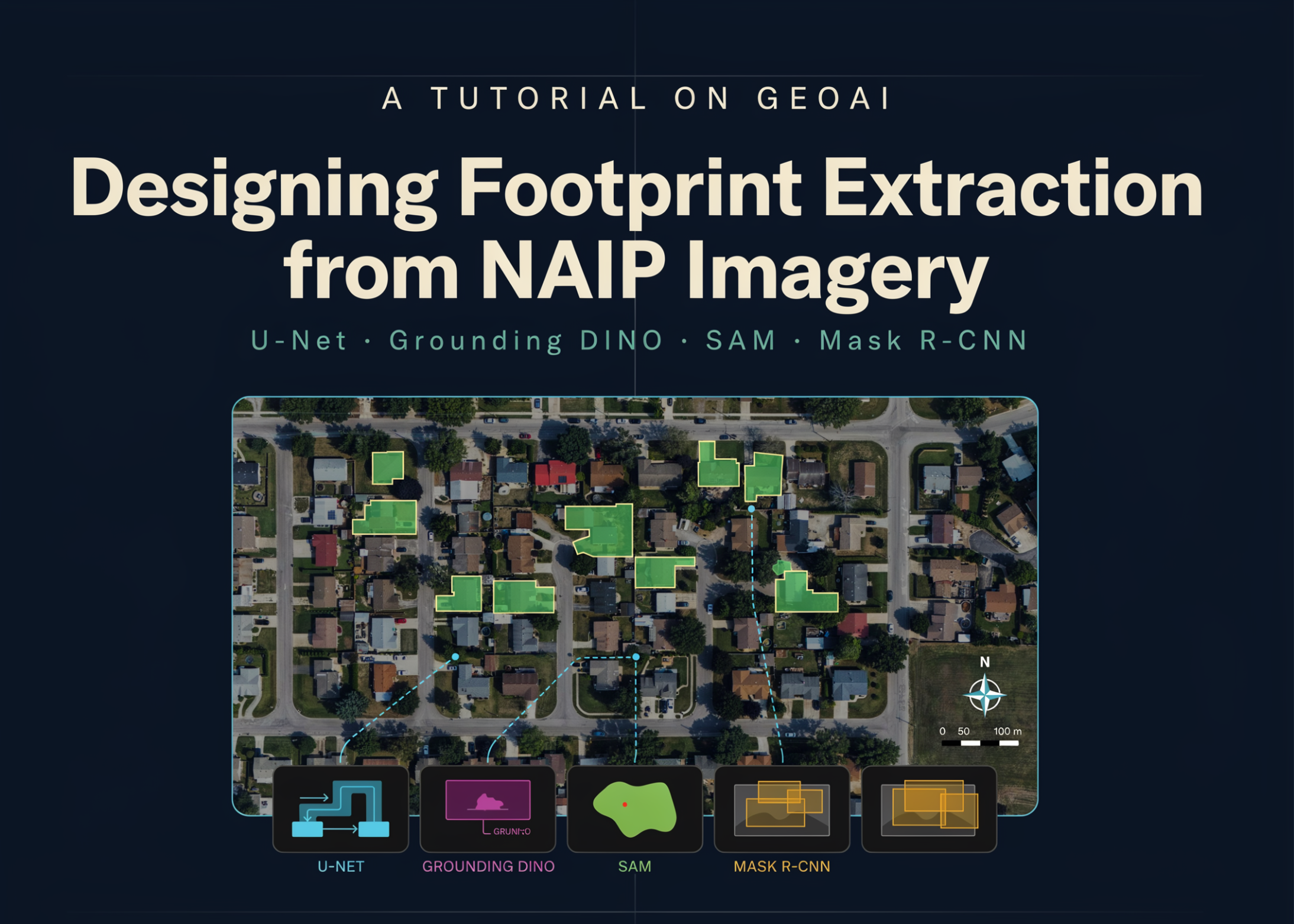
Now imagine a computer looking at an aerial photo and automatically identifying every building in a whole district — its exact position, shape, and size — within minutes. That’s what modern GeoAI (geospatial artificial intelligence) can do. A detailed tutorial on MarkTechPost walks through how to use models like U-Net, Grounding DINO, SAM, and Mask R-CNN to extract building footprints from high-resolution imagery. It sounds like a lab experiment. But for a Malaysian SME owner, it’s closer to a practical tool than you think.
TL;DR: GeoAI uses self-learning algorithms to map buildings and other objects from aerial or satellite images. It’s not a research toy. For SMEs, it means answering questions about sites, assets, and customer areas without sending a single person into the sun. Keep reading to see how this applies to your business in Malaysia.
What This Actually Means
If you’ve never worked with GIS, names like U-Net and Mask R-CNN sound like sci-fi weapons. Here’s a simpler way to understand it. You’ve used Google Maps. Inside that map are thousands of manually drawn outlines — buildings, roads, boundaries. Drawing them manually is slow, expensive, and quickly outdated. GeoAI instead trains a computer to read pixel patterns in imagery and produce clean outlines of anything on the ground.
In the tutorial, the workflow looks like this: you take aerial photos (in their case, NAIP imagery from the US) and cut them into manageable 512-pixel tiles. Each tile gets fed into a deep learning model that learns to label every pixel as “building” or “not building.” Once trained, that same model runs on new imagery and creates the neat polygons you see on map products. The tutorial even explores zero-shot segmentation with Grounding DINO and SAM — meaning you can ask the model to find objects you never explicitly trained it on.
All these models aren’t just about academic accuracy. They convert raw pixels into structured data you can query, measure, and act on. That’s the real point for a busy owner.
How This Applies to Malaysian SMEs
Take a real estate and valuation firm managing a portfolio of residential units in Shah Alam. Instead of sending someone to physically verify every block of flats, you can use building footprint extraction to count and locate structures from aerial imagery. New construction in a neighbourhood? The model will see it. This data can feed into a location report, a feasibility study, or a zoning review — in minutes, not weeks. The tutorial demonstrates the same pipeline extended to real-world areas using imagery from Microsoft Planetary Computer and labels from Overture Maps, so the method isn’t locked to any one country.
For solar installers, building footprints are gold. You don’t need to draw rooftops yourself. A GeoAI model can generate precise roof outlines for an entire industrial zone in Selangor. Overlay that with sun exposure data, and you’ve got a shortlist of high-potential clients. The tutorial’s cleaned and regularized polygon output is ready to drop into your customer database or dashboard. You don’t need a data scientist to interpret it — you need the output.
Insurance is another area, especially after monsoon floods. A remote adjuster can pull post-event aerial imagery, apply a pretrained model to detect building footprints, and compare what existed before. The tutorial’s sliding-window inference is a technical term for stitching output over a whole scene, but in practice it means you can process entire districts overnight. That turns a manual, multi-day claims check into an automated workflow.
I know what you might be thinking: “This is for big companies with AI teams.” Not anymore. The tutorial runs on Google Colab, a free cloud notebook environment you can access from a normal laptop. No dedicated GPU server is required. You can follow the steps with sample data first, then swap in your own imagery later. If you don’t want to touch code, a business automation provider like AutoRunBiz can wrap these models into simple reports or notifications for you.
“The same aerial photo that used to take a surveyor a week can now be analyzed by a trained model in minutes — and the output is ready to drop into your business tools.”
Practical Takeaways
- Start with one question. Example: “How many buildings are in this parcel?” or “Which rooftops are large enough for solar?”
- Find imagery. For Malaysia, look into government aerial datasets, private drone captures, or public sources like Microsoft Planetary Computer and OpenStreetMap.
- Run the beginner pipeline first. The MarkTechPost tutorial’s Colab notebook uses free sample data — test it before thinking about custom models.
- Use pretrained models if possible. Grounding DINO and SAM allow zero-shot detection, so you can reduce the amount of labeled data you need.
- Bring in an automation partner. If you want GeoAI integrated into your existing CRM or internal reports, work with a specialist who can clean and present the output properly.
What the Tutorial’s Numbers Tell You
These aren’t random technical decisions. They show how precise AI mapping needs to be, and they set expectations for what’s possible. The full configuration is available in the article. Here are the key settings:
| Setting | Value | Why It Matters |
|---|---|---|
| Tile Size | 512 pixels | Balances enough context with memory efficiency. |
| Stride | 256 pixels | Creates overlapping tiles so buildings aren’t cut off at edges. |
| Epochs | 12 | A practical amount for transfer learning without a huge dataset. |
| Encoder | ResNet-34 | A proven backbone that works on limited training data. |
| Models Compared | U-Net, Mask R-CNN, SAM, Grounding DINO | Different levels of automation and accuracy. |
Each of these numbers influences your final output. If you work with a vendor on GeoAI, ask about these parameters — they determine how reliable a building polygon is for your use case.
The Bigger Picture
GeoAI is moving toward something more than automated building outlines. Over the next few years, this technology will be built into everyday business systems — from site inspections to drone inspections to facility management. If you’re an SME in property, logistics, energy, or insurance, you’ll soon be able to ask “What’s happening in this area?” and get an answer backed by pixels, not guesses.
Eventually, models like the ones in this tutorial will be as ordinary as spreadsheets. That doesn’t mean you must become a data scientist. It means you need to know what’s possible, and you need a partner who can turn model outputs into decisions you actually use.
The good news is you don’t have to build all of this technology yourself. The tutorial is open source, the data sources are public, and delivery can be automated. Start small — pick one location-based question, try a notebook, and validate the results against what you already know. You’ll find GeoAI is no longer a laboratory curiosity. It’s a practical asset for a business like yours.
AutoRunBiz helps Malaysian SMEs take these first steps. We can explore whether GeoAI fits your workflows — no jargon, no long-term project needed.
Ready to Streamline Your Operations?
Your business should run itself. AutoRunBiz deploys AI agents to automate your daily operations — WhatsApp orders, invoicing, customer follow-ups, and accounting. Book a free 15-min ops audit to see where automation fits your business →